Central California
About Central California
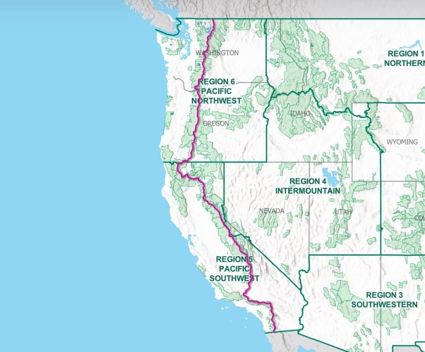
Walker Pass to Donner Summit: 505 miles
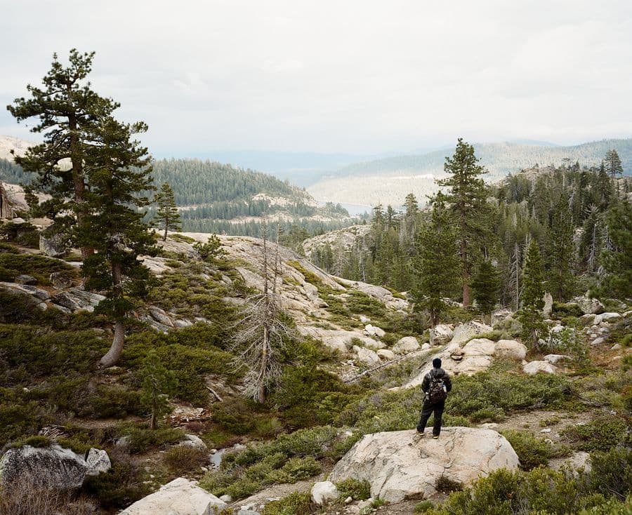
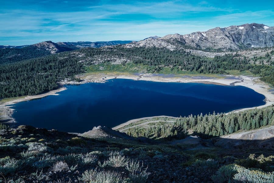
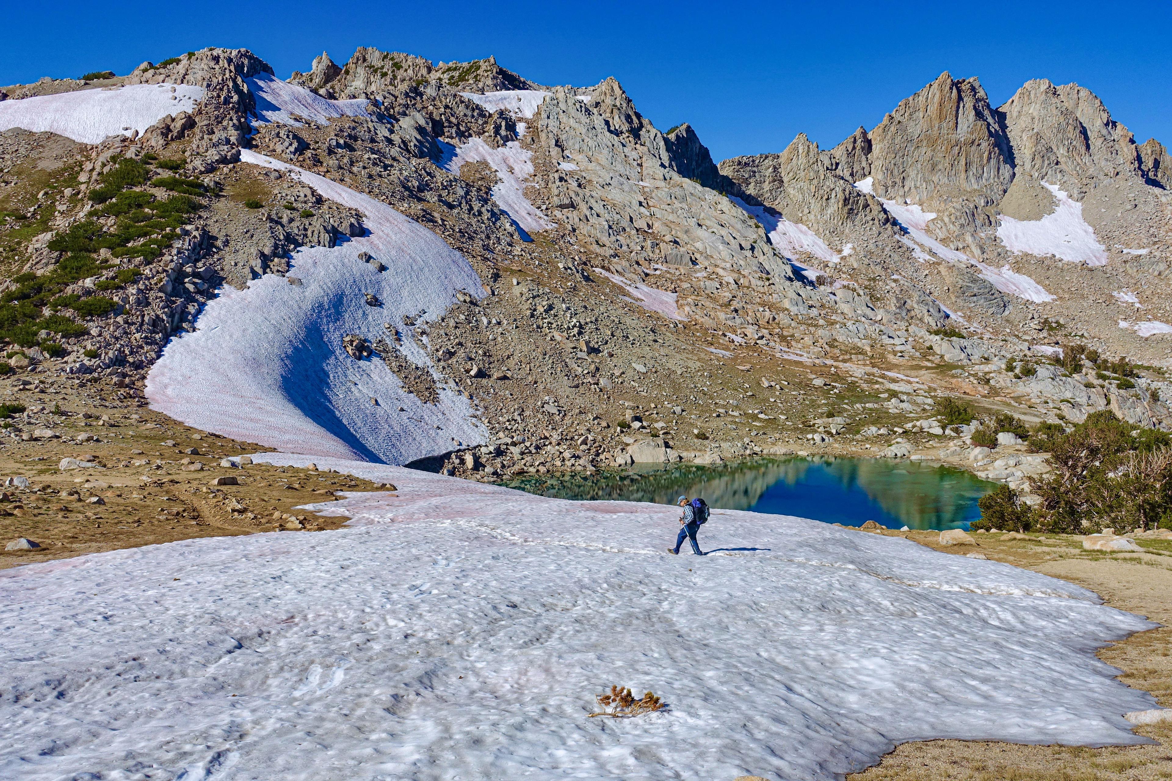
Starting from this section’s lowest point at Walker Pass (elev. 5,246′), the trail enters a roadless and scenic area, hugging the relatively dry crest through the Chimney Peak Wilderness before reaching the South Fork of the Kern River near Kennedy Meadows. The route alternates between expansive meadows and conifer forests, and then embarks on a 3,300-foot ascent to Cottonwood Pass. To the north is the majestic, glaciated High Sierra. The glaciers formed shallow basins that filled with water to create thousands of lakes and tarns. In Sequoia National Park, the popular John Muir Trail descends from nearby Mount Whitney (elev. 14,494′) to join the PCT. The two trails merge and share the same path for most of the way to Highway 120 in Yosemite National Park’s lush Tuolumne Meadows (elev. 8,690′). Along this stretch, the route repeatedly descends deep canyons only to ascend to high saddles. The PCT crosses eight named passes above 11,000 feet in this section, the first being Forester Pass (elev. 13,153′), the highest point on the entire trail.
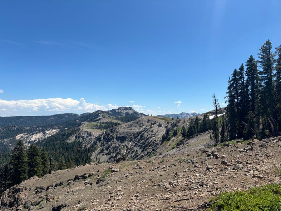
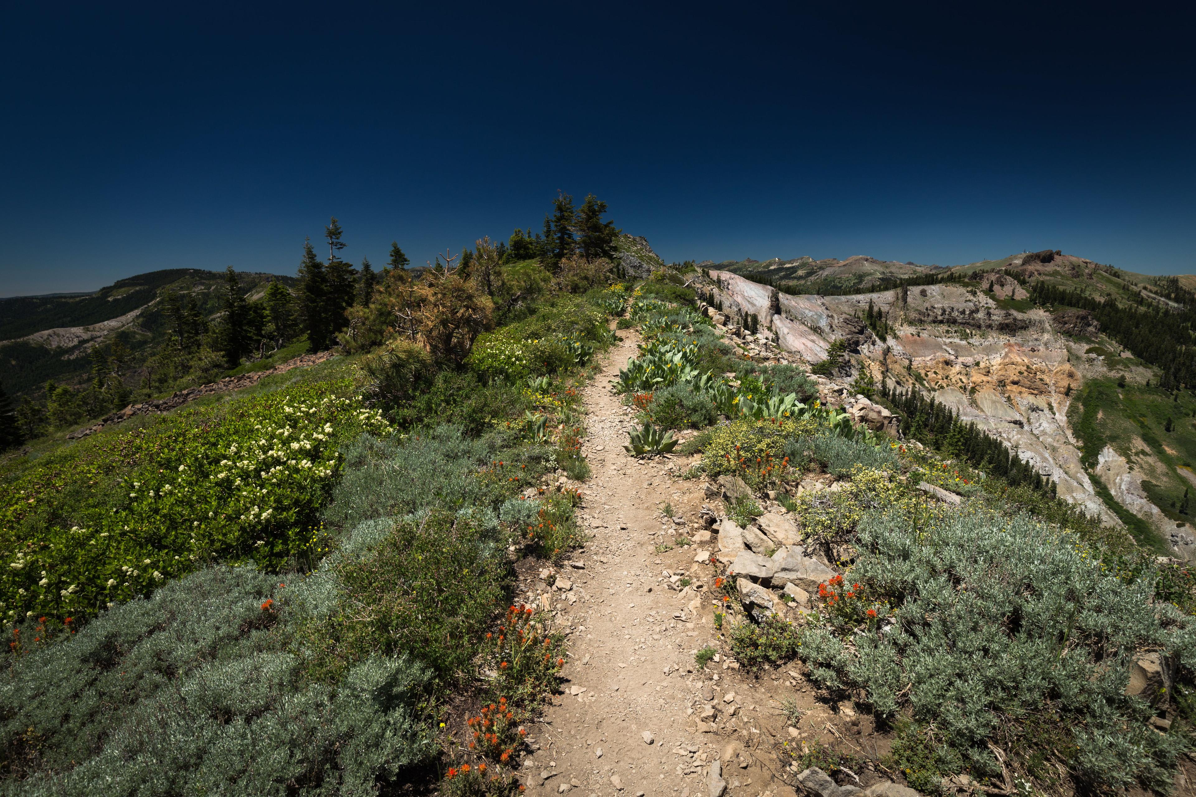
After crossing Highway 108 at Sonora Pass (elev. 9,620′), the trail begins a generally subalpine, relatively level traverse that stays close to the Sierra crest until this section ends at Interstate 80 (elev. 7,200′). Volcanic rock formations can be found north of Yosemite, with increasing frequency from Sonora Pass to Echo Summit at Highway 50, and again near this section’s end, north of the Granite Chief Wilderness.
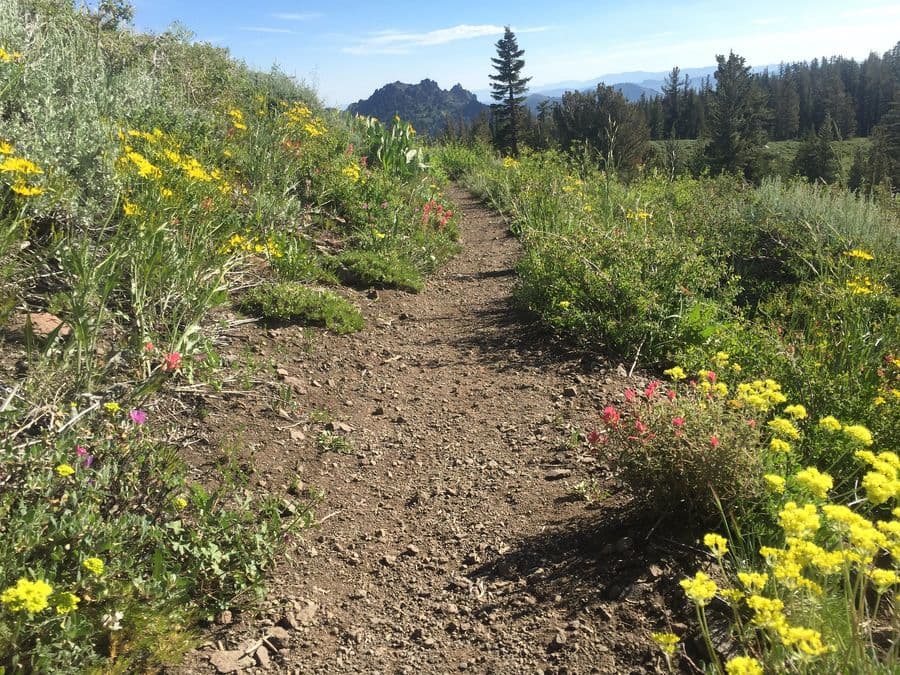
Plants in this section include corn lily, snow plant, red fir, Jeffrey and ponderosa pine at lower levels; and mule ears, mountain hemlock and weather-twisted white bark pines near treeline. Animals include marmot, coyote, deer and black bear. Mountain chickadee, junco, Steller’s jay, Clark’s nutcracker and red-tailed hawks serenade visitors’ ears.